-
Essential:
Essential cookies are essential for you to browse the website and use its features. Cookies that allow web shops to hold your items in your cart while you are shopping online and navigating the website are an example of strictly necessary cookies. Our website does not work without these cookies, so they are stored without your express consent.
-
Preferences cookies:
Preferences cookies can be used to change the user experience of our website. Preferences cookies allow a website to remember choices you have made in the past.
-
Statistics cookies:
Statistics cookies are used to collect information about how you use our website. None of this information can be used to identify you.
-
Marketing cookies:
Marketing cookies track your online activity. The purpose of marketing cookies is to help advertisers deliver more relevant advertising or to limit how many times you see an ad.
#Borderlands area
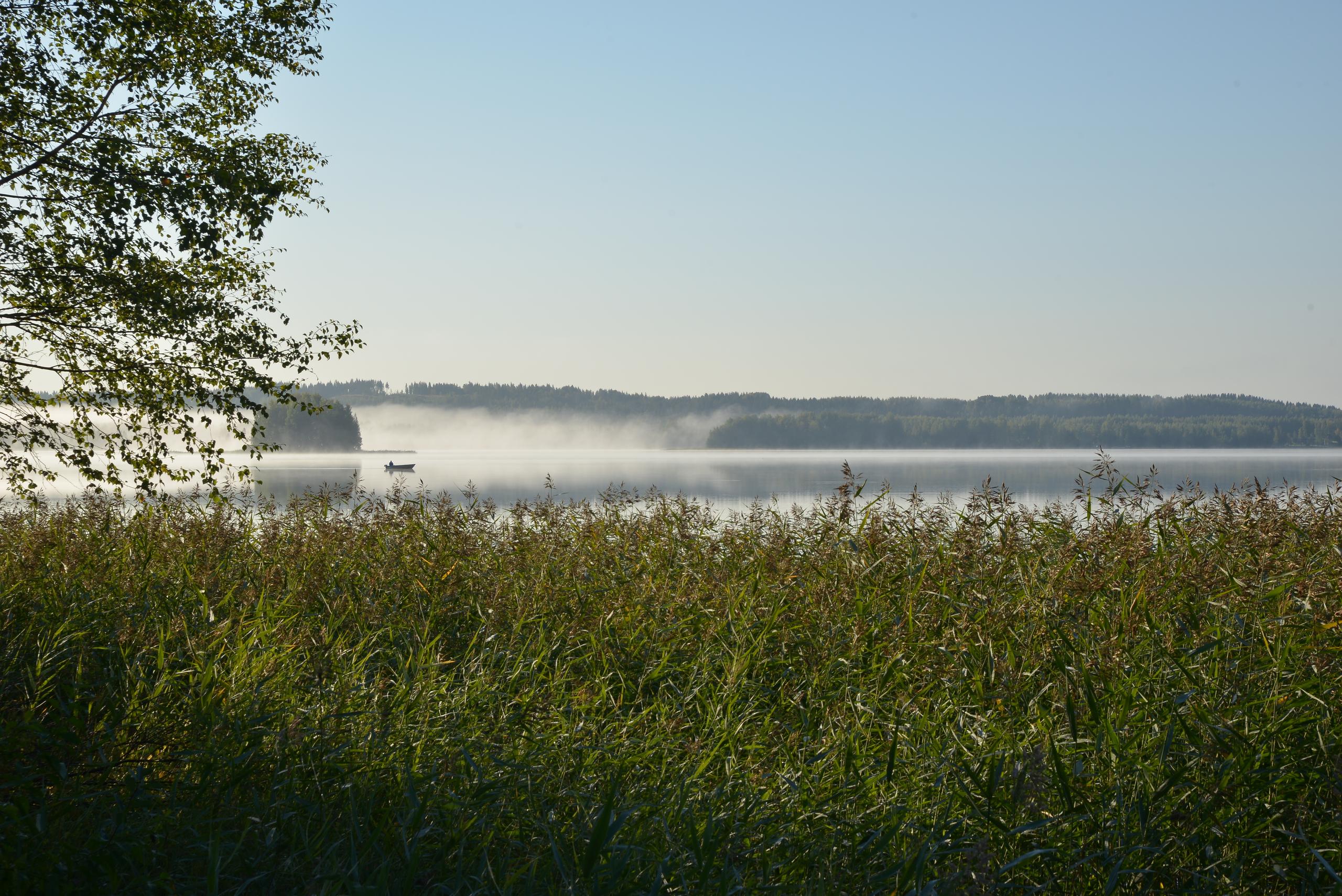
Finland has often been described as a borderland between East and West and Karelia as its forefront. The geographical tip of present-day South Karelia, Ruokolahti, Rautjärvi and Parikkala, form a region here that is truly bordered in time, geography and culture.
Nature has delimited the area, setting still visible frames for it. Most of the municipal land is between the areas of Salpausselkä. Expanding the perspective, we are between two large lake areas, Lake Saimaa and Lake Ladoga. Saimaa is most present in the western part of Ruokolahti, where extensive waters and the archipelago gradually turn into forest land in smaller lakes in the east. The lake Ladoga affects the Parikkala region both in terms of climate and in terms of species, such as the walnut bush, the wasp or the wild boar.
Man moved in these waters thousands of years ago: for example, there are about 50 Stone Age settlements around Lake Simpelejärvi. It was the nature of the frontier lands long ago to draw the boundary of a habitat on a favorable shore to the waterline. Representing the oldest place names, Pyhämäki, island, in the original sense of the word pyhä also refers to the boundary, which was the marking of the enjoyment area of the wilderness period.
The border area is also the core area of Finland's oldest state borders. The border of peace on Pähkinäsaari (1323) ran in Rautjärvi through Lake Torsanjärvi to Särkilahti in Punkaharju. It is suspected to have already been the border of the western and eastern parts of Karelia. Since then, several Swedish-Russian borders have crossed the area. The border breaches of Täyssina (1595) and Uusikaupunki (1721) can still be found in the terrain.
There have also long been cultural boundaries here in terms of religion and language. Although Lutheranism eventually became predominant under the old influence of Sweden, Orthodoxy has also had its place in these days. The Karelian dialect, on the other hand, has been supplemented by Savoans.
The Winter and Continuation Wars demarcated the area in a completely new way in the 1940s. All municipalities lost parts of their territories to the Soviet Union. Old connections to Vyborg and, on the other hand, to Ladoga centers such as Käkisalmi and Sortavala were broken. Border control brought new work, on the one hand, border traffic and border crossing mobility, but the trend in the northern part of South Karelia changed permanently.
How about now? The long-lasting slowdown in the countryside has had a negative effect on the population, which is still close to 13,000 in the Parikkala, Rautjärvi and Ruokolahti areas. The internal division has also developed when Rautjärvi and especially Ruokolahti have started to focus on the Imatra region and Parikkala partly on Savonlinna, in Uukuniemi on the Kesälahti direction.
The border countries are now facing a new age together, as elsewhere in Finland. The development of telecommunications connections, remote working, increasing domestic tourism and attempts to make more diverse use of Russia's proximity are regional economic means of survival. Open issues include the balance between the aging and new population, the economic structure and local immigration.
The Borderlands tourism portal is one new two-way window to the future of this distinctive region. The local importance of tourism is still taking shape, but new seeds for the gradual rise of accommodation and program service companies exist. These include the opening of the Parikkala border crossing point and the Hiitolanjoki as a Finnish-Russian border river. Savonlinna and the connection to Lake Saimaa are also opportunities that history provides. The area is one of the old centers of historical transit traffic from Ladoga to Lake Saimaa.
In the borderlands, you have come to the borders that have always been drawn and drawn here. Draw yours too.